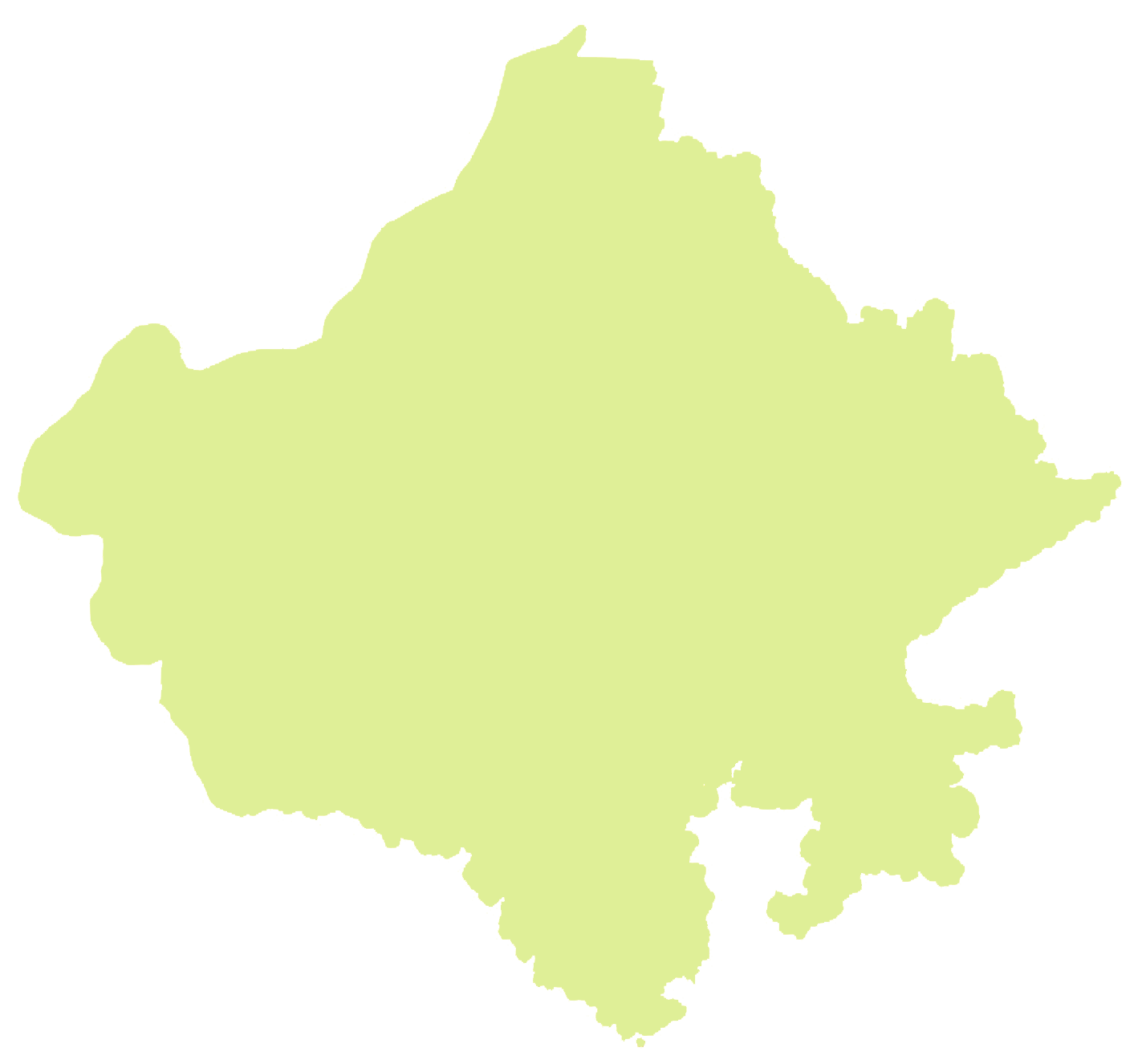
Rajasthan Map PNG
Rajasthan MAP PNG with districts name. ✓ Rajasthan Map PNG, ✓ Rajasthan Map Vector download.
Rajasthan being the largest state from geographical point of view. Now with formation of new districts, time and resources will be saved and work will gain new speed and new opportunites will be created.

Rajasthan-Map-PNG-with-districts-name
1,022 KB
1428 by 1326 pixels
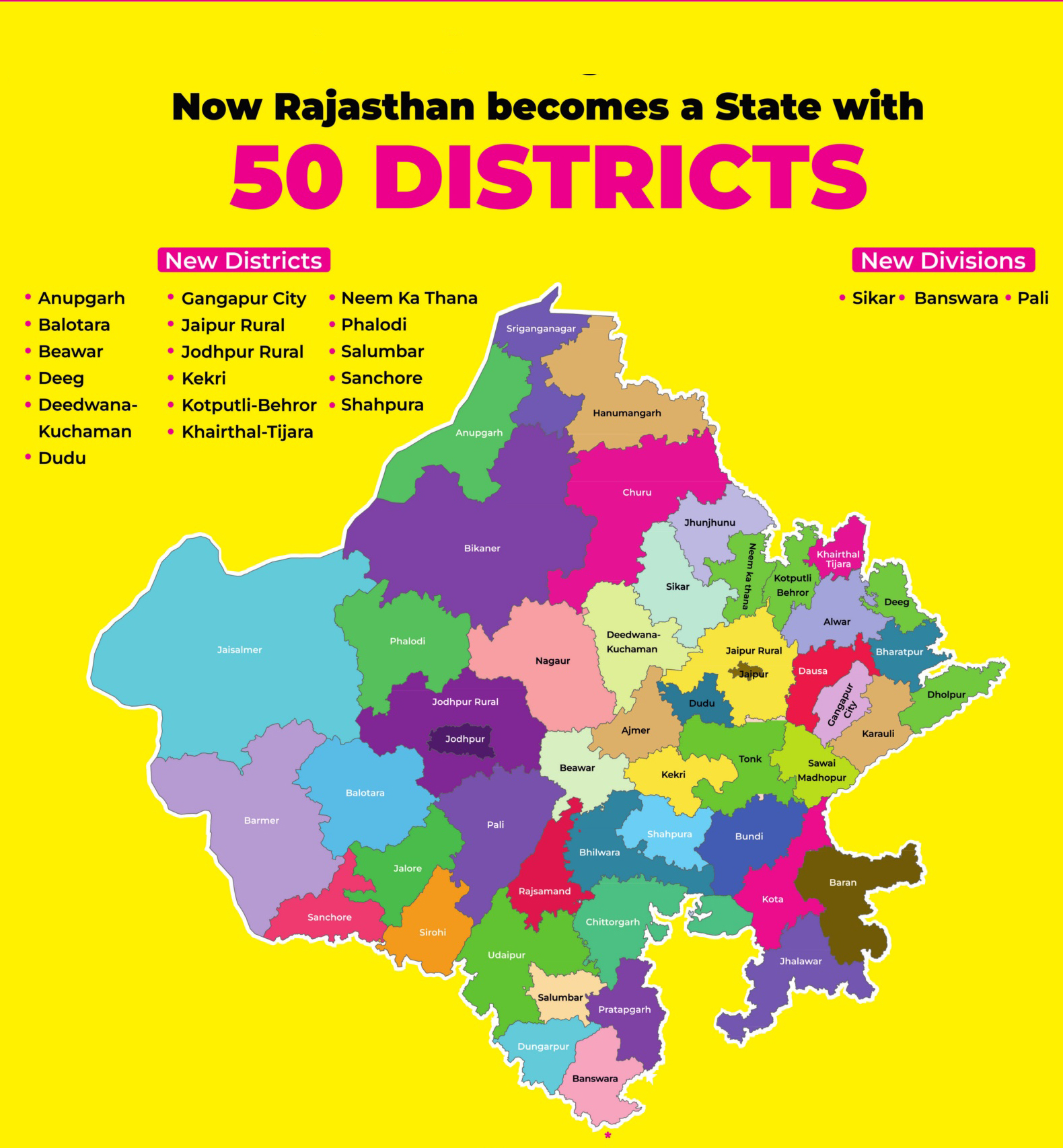
Rajasthan becomes a State with 50 Districts